
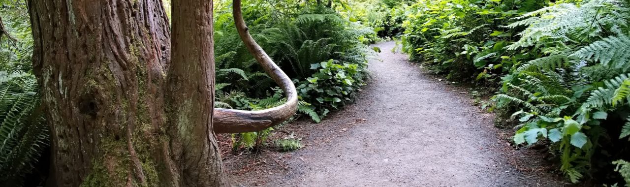
Every hike begins with a question: What will it be like out there?
Most of us barely notice we’re asking it. But if you use a mobility device, have a bad knee, or are guiding someone who does, the answer can decide whether you come at all. Is the path paved? Are there stairs? Where can I rest?
That’s the question behind the trail preview project at Hoyt Arboretum, a group effort that’s been underway since this summer.
Know before you go
Just minutes from downtown Portland, Hoyt Arboretum is free and open to the public every day of the year, making it one of the most accessible nature parks in the city. There are 12 miles of hiking trails, including Bristlecone Pine Trail, which carries the historic distinction of being the first paved nature trail in a Portland Park in 1986.
Also established in 1986, Hoyt Arboretum Friends (HAF) has a long tradition of improving access to the trees and trails. In partnership with Portland Parks and recreation, the nonprofit has raised funds for programs and capital projects for gathering spaces like Stevens Pavilion and the Redwood Deck, and trail improvement projects- including current renovations to the Bristlecone Pine Trail.
A welcoming public space lets people not only enter, but also know what to expect once they arrive. In person, HAF installed wayfinding signage along the trails, and staff and volunteers run the Visitor Center where folks can pick up free trail maps and get personalized recommendations. The trail previews extend that welcome online.
About the trail previews
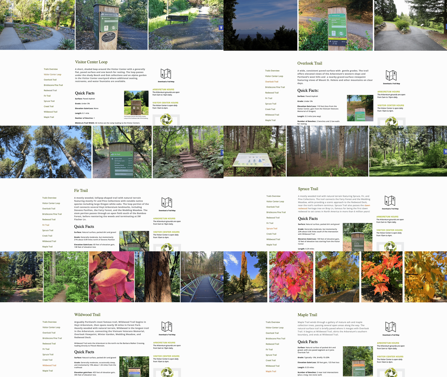
Each preview brings together video, photographs, accessibility details, and written directions for reaching and following the route. It covers trail length, grade, and width, root intrusion, and whether the path is paved or includes stairs. A time-lapse video, usually beginning at the Visitor Center, walks the whole route and points out potential obstacles and places to rest.
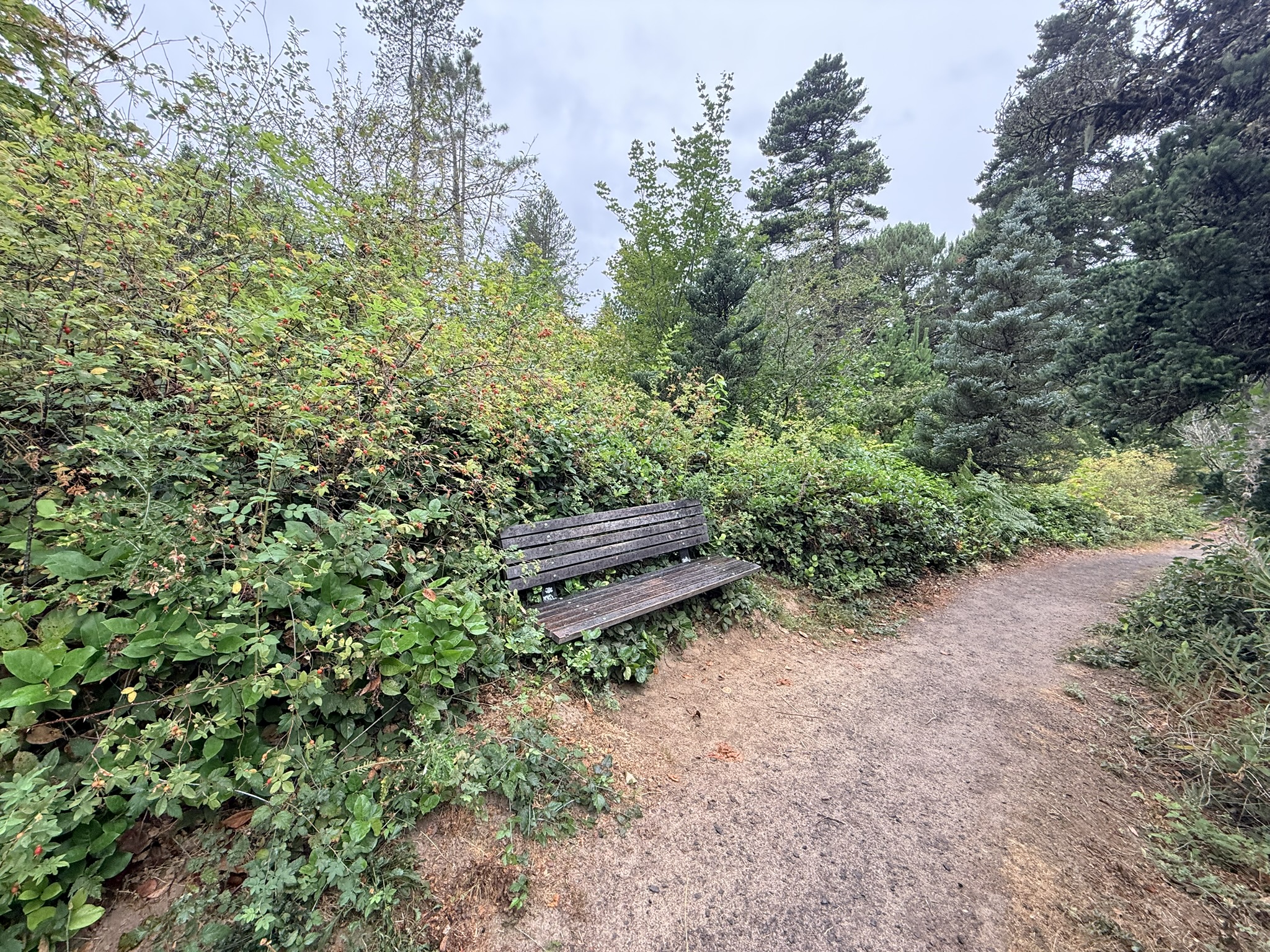
The previews are for everyone, but they’re designed especially for people with mobility limitations, to help them choose the trails that will work for them. We’ve made great progress in adding these resources to these trail pages, and we’re continuing the project until every trail is documented.
How it began
I’ve been volunteering with HAF for about a year now in a variety of roles, starting with Tuesday Crew, a dedicated group of stewards who care for the arboretum’s trees and trails. I also have a professional background in communications and started helping HAF’s comms specialist, Rebekah, with videos and social media.
One summer day, outside the Visitor Center, Rebekah asked if I’d help create trail previews. The idea had been on her to-do list for a long time, and she hadn’t had the capacity to build it.
The hardest part of the project was already done. Two years earlier, William Spry, a then Catlin Gabel High School senior completed his volunteer capstone project with HAF by completing an accessibility audit of the trails, with careful measurements of length, grade, width, and more.
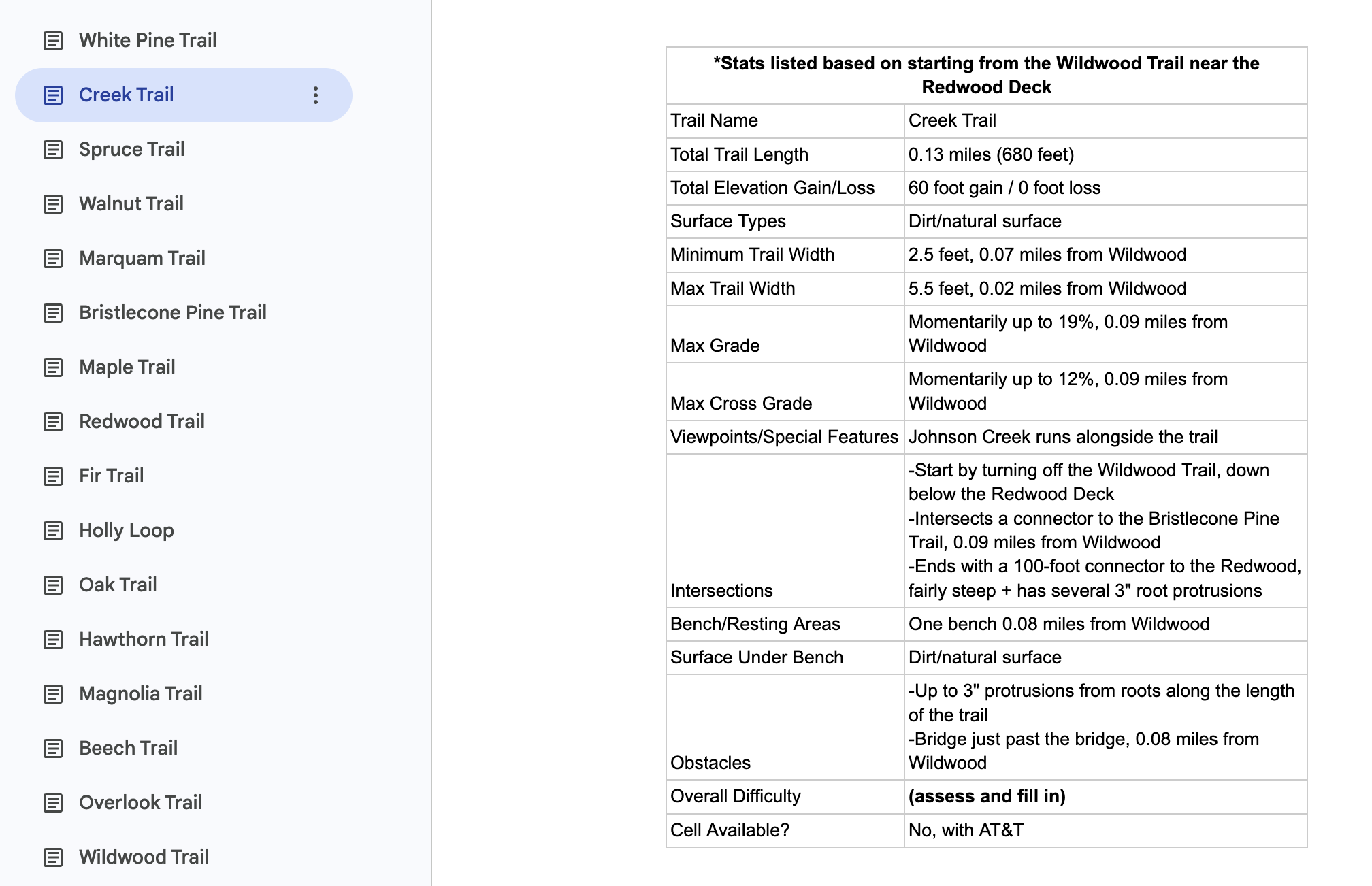
It was exactly the information visitors needed, and our job would be to make it visual and approachable.
We began with a couple of short trails near the Visitor Center, working out the details and developing a process. Early drafts were shared with Aliya Hoff-Vanoni, who helped develop and leads HAF’s Trees for All Public Tours. Her feedback shaped our approach.
And once we had a system that worked, Rebekah handed me the project.
Now I prepare a draft package for each trail, and Rebekah edits and publishes it. She’s still often out on the trail with me, helping guide the route and taking photographs.
How a trail gets previewed
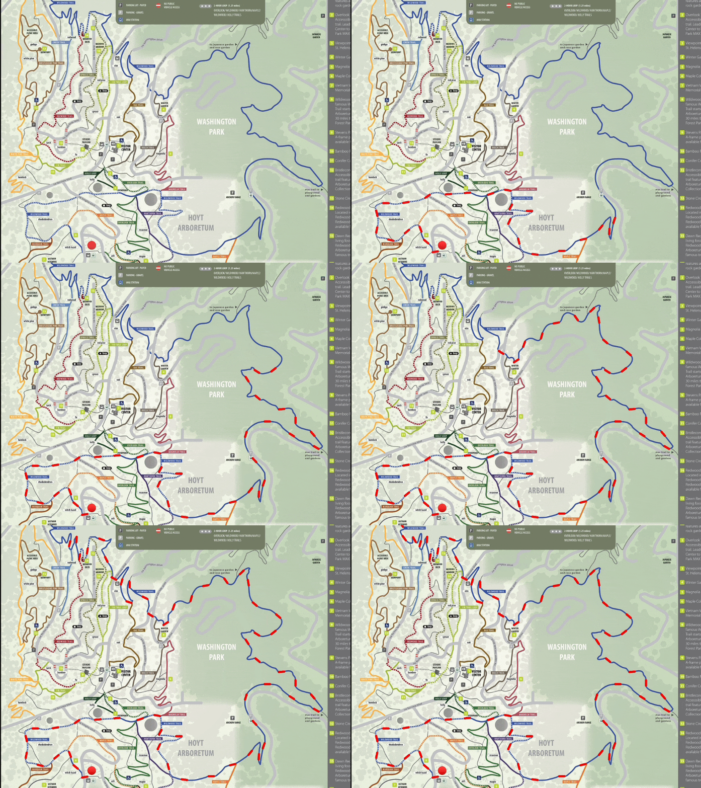
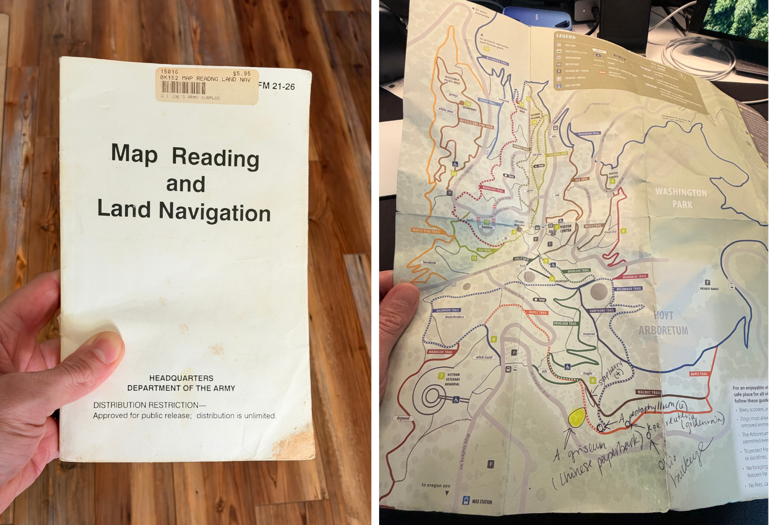
1. Study the map. I start with a paper map at my desk, noting the trail’s length, its connections to other trails, and its location relative to the Visitor Center and other landmarks.
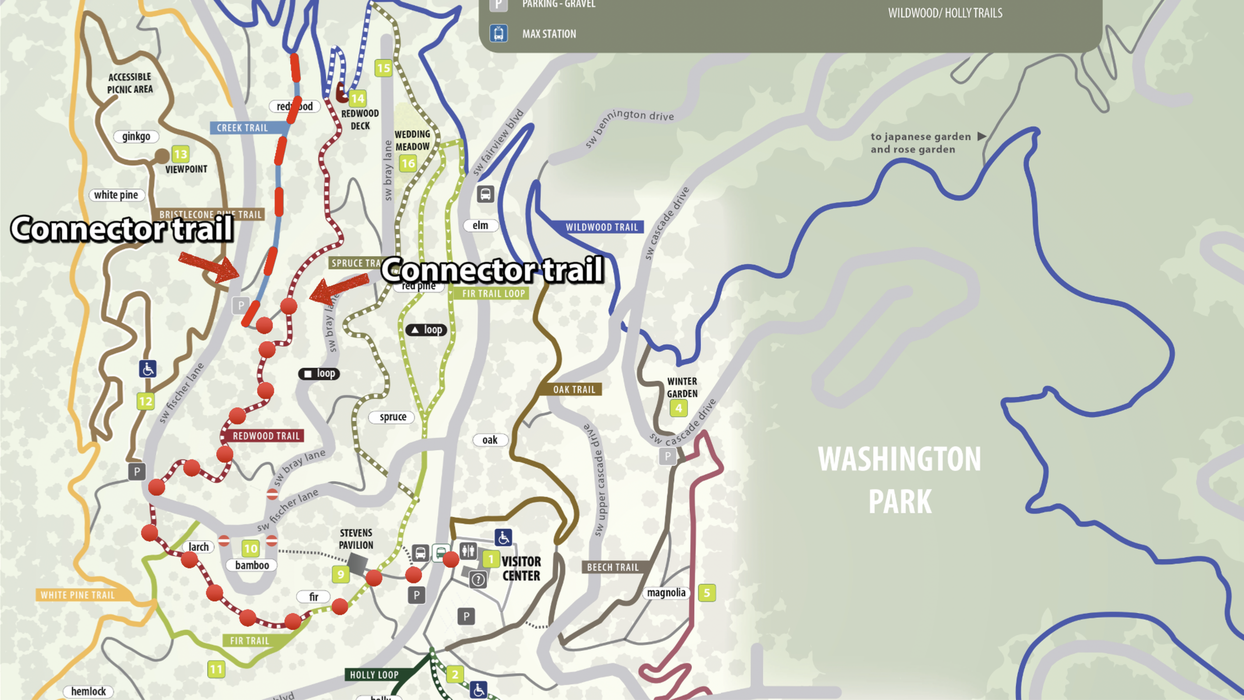
2. Draw on William’s audit. His measurements of length, grade, width, and other details are the foundation of every preview. My job is to turn those numbers into something you can see and understand at a glance.
3. Film the route. I attach my phone to a gimbal, which steadies the camera, and record a time-lapse. I focus on filming while Rebekah guides and takes photos.
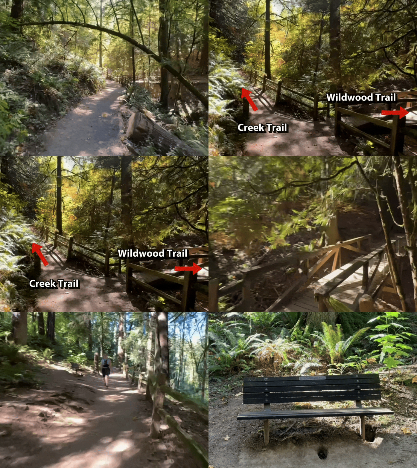
4. Photograph the details. We capture wayfinding signs, intersections, tree roots, narrow sections, eroded edges, benches, picnic tables, and anything else a visitor would want to know about.
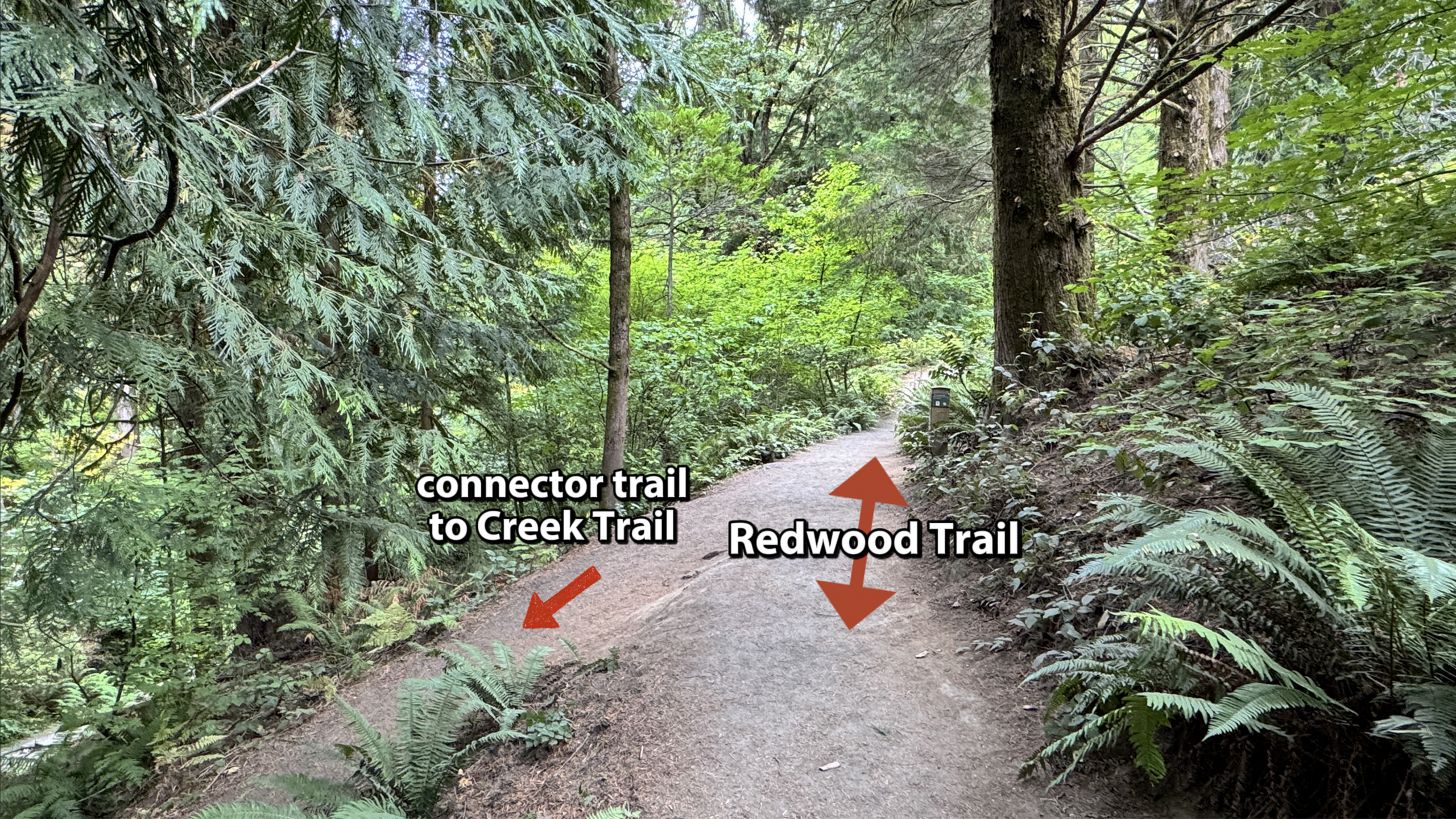
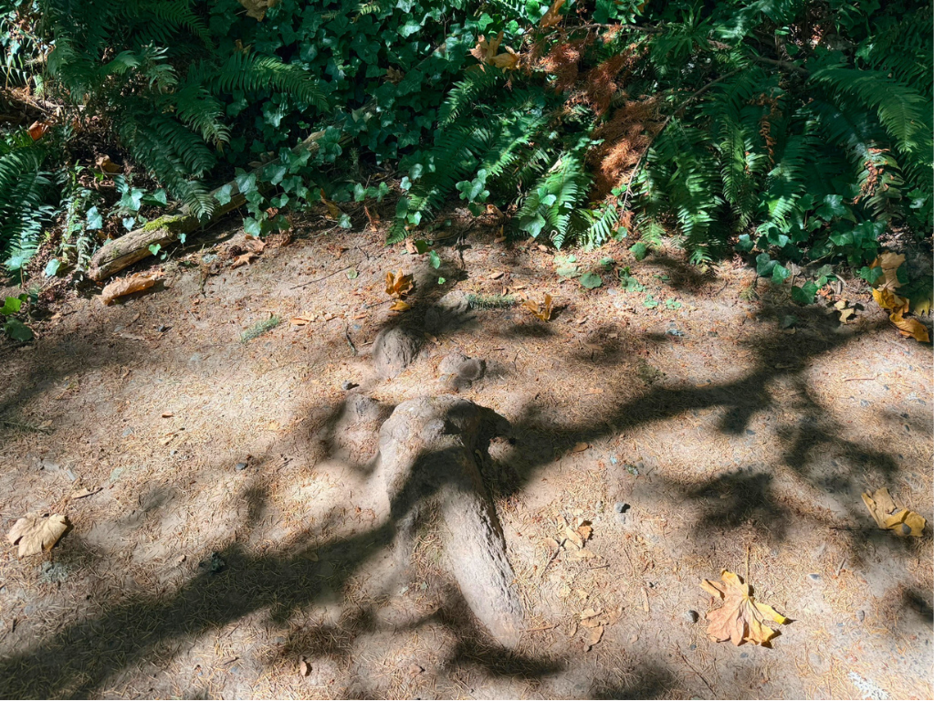
5. Edit and write. I add clarifying text to the video, such as identifying intersecting trails or noting where the route crosses a road. Then I write the trail description, including directions to the trailhead.
6. Add captions and alt text. I write both for the website photos, then send the finished package to Rebekah.
We’re documenting about two trails a month, so the work will continue for several more months. After the named trails, we’ll move on to recommended loops and other points of interest.
Why it’s personal
Though the project is public-facing, the work is personal for me.
I’m a Special Forces combat veteran, and maps were a constant part of my military life. Somewhere on my shelf, I still have the Army’s Map Reading and Land Navigation manual, FM 3-25.26.
Volunteering at Hoyt, including this project, has been deeply healing. It means something to take skills I once relied on in wartime and use them to help other people. It has taught me something about empathy and compassion: the same skill can serve very different purposes, depending on whom you’re trying to help.
In the Army, a map helped us surprise an enemy and gain an advantage. At Hoyt, a map helps someone find a path through the arboretum’s beauty with confidence.
Preview a trail before your next visit
Published trail previews are linked on the lefthand sidebar menu of the trails page. More are being added all the time, so check back often!
Interested in a guided accessibility hike? Learn more about Trees for All.
Want to give your time to the trails? Join us as a stewardship volunteer.
About the Author
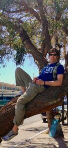
Spencer Miller has spent a lot of time under trees, looking at maps. He enjoys being able to use old skills for a new, wholesome purpose.