
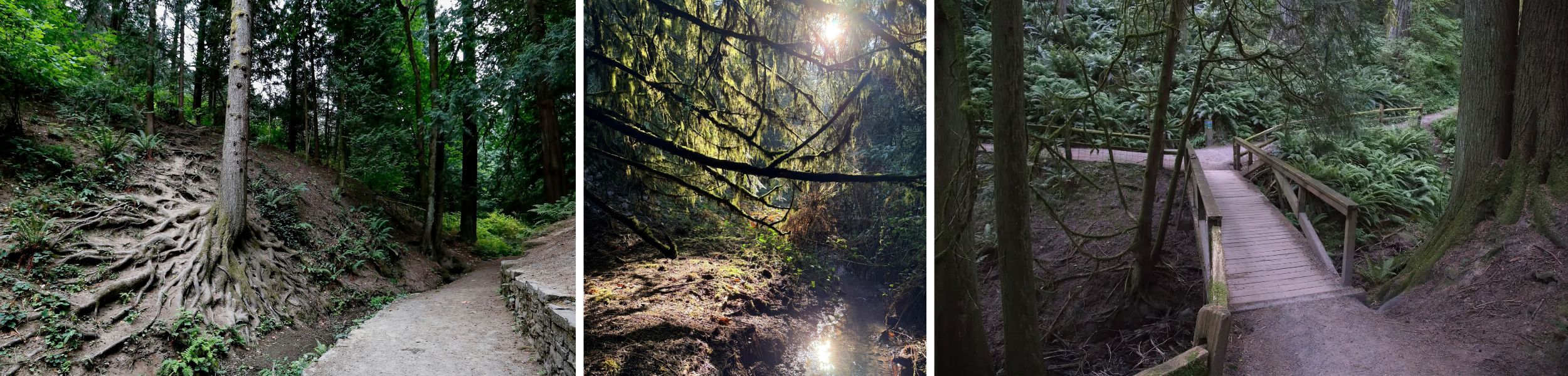
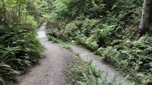
A short, heavily wooded trail with natural terrain that runs alongside Johnson Creek. Located just to the west of the redwoods, Creek Trail offers a stunning view of the Redwood Deck and surrounding trees. This north-south trail connects to Wildwood Trail in the north and Redwood Trail to the south. Creek Trail is generally a few degrees cooler than other trails, due to its proximity to the creek.
Quick Facts
Surface: Natural surface, packed dirt, and two wooden footbridges
Grade: Generally moderate, but momentarily 19% about 0.09 miles south of Wildwood Trail
Elevation Gain/Loss: 60 feet of elevation gain, 0 feet of elevation loss
Length: 0.13 miles
Number of Benches: 1
Minimum Trail Width: 30 inches, 0.07 miles south of Wildwood Trail
Typical Trail Width: 48 inches
Sun Exposure: fully shaded, with little direct sunlight reaching the trail
Other Things to Note: Steep connector trails, connector from Redwood Trail includes 7 stairs, 2 wooden footbridges without guardrails
Creek Trail Preview
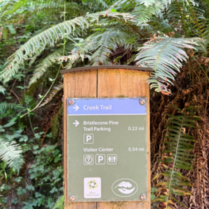
Access the Creek Trail
There are three ways to main access points to Creek Trail:
- Connector Trail from Redwood Trail
- Connector Trail from Fischer Ln
- From Wildwood Trail
Start from the Visitor Center
Starting from the Visitor Center provides access to bathrooms and water fountains, and is a great place to grab a map and get some trail advice. Learn more about Visitor Center amenities on our Plan Your Visit Page.
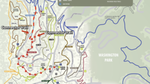
From the Visitor Center, heading west towards Stevens Pavilion. Just before reaching Stevens, turn left (south) onto Fir Trail. Continue south for .02 miles, until you reach the fork with Fir Trail and Redwood Trail.
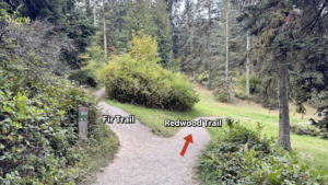
At the fork, keep right and head west on Redwood Trail for .06 miles, until you reach SW Fischer Ln. Cross the road and continue heading northeast on Redwood Trail for .13 miles until you reach the connector trail that leads to Creek Trail.
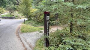
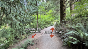
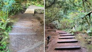
Turn left (southwest) onto the connector trail and travel .02 miles, and you’ll descend 7 uneven steps, and cross a wooden footbridge to reach the southernmost point of Creek Trail. Take care descending the connector trail, as it has a steep grade, many intrusive roots, and uneven stairs near the bottom.
Start from Fischer Ln
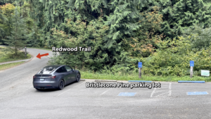
There is a small parking lot at the Bristlecone Pine Trailhead and limited street parking along Fischer Lane.
From Bristlecone Trail parking lot, exit the parking lot and turn right (south) onto SW Fischer Lane. Walk on the paved street 0.1 miles until you encounter the Redwood Trail on your left (east). When you reach Redwood Trail, proceed as instructed above.
There is also limited roadside parking immediately south of a connector trail that leads to Creek Trail. Exit the pull out parking area to the north, via the connector trail. Follow the descending trail northeast for .02 miles until you reach Creek Trail.
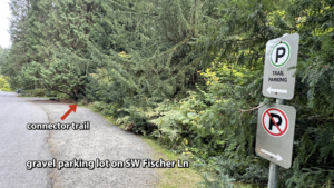
This trail connects with Creek Trail .05 miles north of the southern terminus.
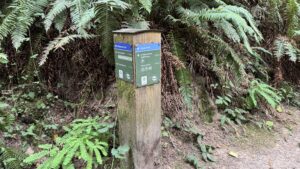
Known Obstacles and Usability
Creek Trail contains frequent, significant root intrusion throughout.
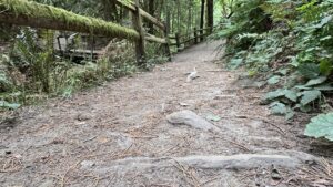
At one point a tree blocks part of the trail, and the trail is only 30 inches wide.
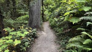
The connector trail from Redwood Trail has 7 steep wooden stairs cut into the dirt trail.
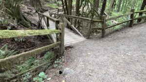
There are two wooden footbridges without guardrails. The wood may be slippery when wet.
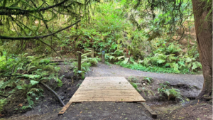
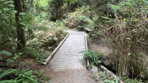
There is a significant hole at the edge of the northern bridge.
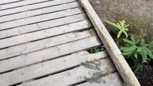
Along parts of the trail, there are steep dropoffs to either side.
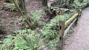
At the intersection of Creek Trail and Wildwood Trail, there are a couple of significant holes near the wooden footbridge on Wildwood Trail.
Resting Spots
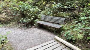
There is one bench, .07 miles south of Wildwood Trail, just north of the wooden footbridge.
Questions?
Please reach out to Hoyt Arboretum Friends for more information about trails including accessibility concerns.
[email protected]
503.865.8733