Spruce Trail

Spruce Trail

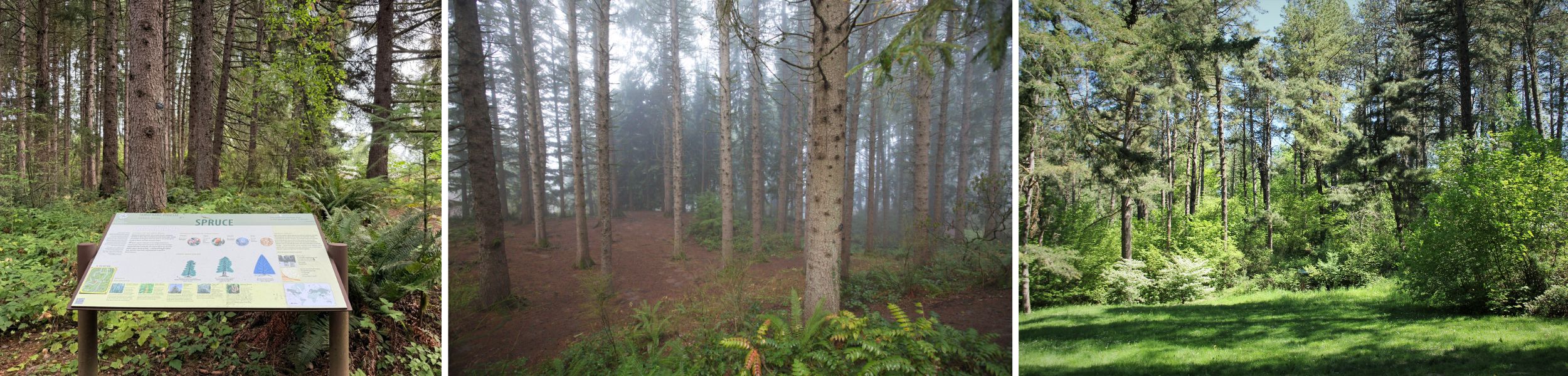
A mostly wooded trail with natural terrain featuring Spruce, Fir, and Pine Collections. The trail connects the Fairy Forest and the Wedding Meadow, while providing a scenic approach to the Redwood Deck, near the trail’s northern terminus. Spruce Trail also passes the dawn redwood heritage tree on Bray Ln, famous for being the first dawn redwood to set cones in North America in more than 6 million years!

Quick Facts
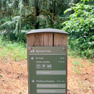
An image of a wooden wayfinding sign pointing at the center of Spruce Trail with arrows pointing in either direction at the trail mark, and pointing to the right to go back to the Visitor Center where parking and bathrooms are.
Spruce Trail wayfinding post.

Surface: Natural surface, packed dirt and gravel

Grade: Generally moderate, but momentarily 23% about 0.06 miles south of the intersection with Wildwood Trail

Elevation Gain/Loss: 100 feet of elevation gain, 10 feet of elevation loss starting from the Visitor Center

Length: 0.29 miles

Number of Benches:  3 trailside + 1 log bench, 2 picnic tables at and near the Wedding Meadow

Minimum Trail Width: 36 inches 0.09  miles south of the intersection with Wildwood Trail

Typical Trail Width: 48 inches

Sun exposure: mostly shaded with afternoon sun exposure where the trail runs parallel to Bray Ln.

Other Things to Note: Spruce Trail provides a direct path from the Visitor Center to the Fairy Forest, Wedding Meadow, the Redwood Deck, and the dawn redwood Oregon Heritage Tree. Trail is mostly smooth with some areas of root intrusion causing 3 inch bumps.


Spruce Trail Preview

Access the Spruce Trail

The most direct access point to Spruce Trail is from the Hoyt Arboretum Visitor Center.

Starting from the Visitor Center provides access to bathrooms and water fountains, and is a great place to grab a map and get some trail advice. For more about arrival and amenities at Hoyt Arboretum, see our Plan Your Visit page: https://www.hoytarboretum.org/visit/plan-your-visit/
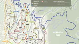
 

An image of the Hoyt Arboretum Trail Map with the Spruce Trail marked in a red dotted line.
Spruce Trail marked in red.

From the Visitor Center, you can reach Spruce Trail by heading west down the paved path leading to Stevens Pavilion. You’ll intersect Fir Trail just before reaching Stevens Pavilion.
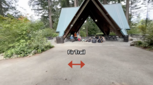
An image facing a green-roofed picnic pavilion surrounded by shrubbery and the wide paved entrance to the pavilion extending to a dirt trail on either side. The trail is labelled by a double headed red arrow pointing in either direction labelled with the words "Fir Trail". There are people gathered and sitting on the ground with young children at the Pavilion.
Fir Trail starts to either side of the Stevens Pavilion.

Turn right and travel north on Fir Trail for .02 miles, and Spruce Trail will be on the left (west). 
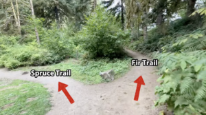
An image of a dirt trail intersection with red arrows pointing to the left labeled Spruce Trail and to the right labeled Fir Trail.
The start of Spruce Trail at the intersection with Fir Trail.


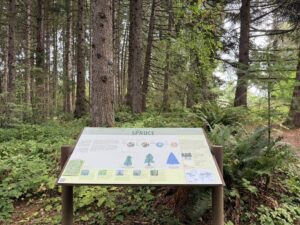
An image of an interpretive sign on posts at waist-height and tree trunks in the background. The sign is labeled Spruce at the top.
Enrich your hike by learning about the spruce trees you’ll encounter on the trail.


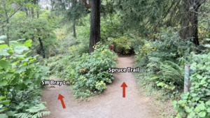
A fork in a dirt trail surrounded by low growing vegetation and occasional tall trees.
When you reach this fork in the trail, go right to stay on Spruce Trail, or go left to reach SW Bray Lane.


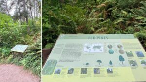
An interpretive sign about Red Pines along a trail side.
On the east side of the Wedding Meadow are stairs leading to the Wildwood Trail and Fir Trail.


A trail wayfinding sign pointing back in the other direction noting Spruce Trail has ended.
This wayfinding sign at the northern end of Spruce Trail sits at the intersection with Wildwood Trail and SW Bray Lane.

Known Obstacles and Usability

Spruce Trail is mostly smooth but contains occasional, significant root intrusion.
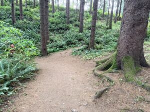
Tree roots at the edge of a wide dirt trail that extend about 10 inches into the trailside.
Roots extend into the trail around the bend near the Fairy Forest.

The most root intrusion occurs just before the fork between the connector trail that leads to Bray Ln and Spruce Trail near the Wedding Meadow.
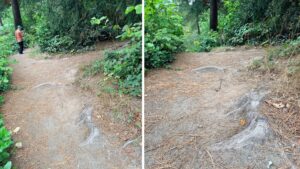
Roots encroaching on a dirt trail oriented vertically and horizontally with about 3 inch bumps.
This is the most significant root intrusion on Spruce Trail.


Resting Spots

There are 4 benches spaced out along the trail. 
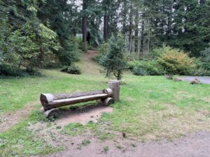
A cut log bench in a grassy area off the dirt trail on the lower part of a hillside.
This log bench is on the hillside below Stevens Pavilion, near Fischer Ln at the start of Spruce Trail.


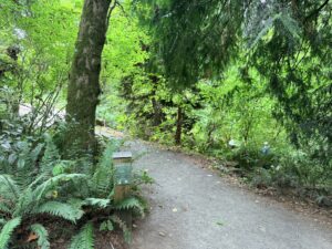
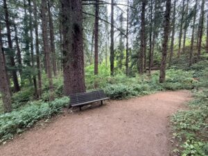
A wooden bench at the side of a wide dirt trail with plentiful area to either side and dirt surface continuous with the trail underneath.
This shaded bench faces the Fairy Forest.


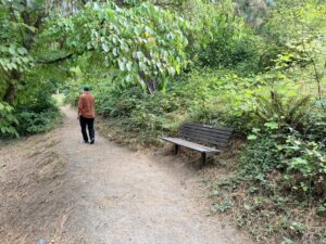
A wooden bench off the dirt trail with dirt surface underneath and space to either side of the bench with low growing vegetation.
This bench offers a good view of the Wedding Meadow.

The Wedding Meadow, located on the northern portion of the trail, contains a picnic table that is accessible from the trail after descending 6 steps.
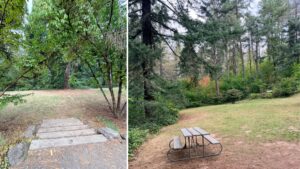
6 stair lead to an open meadow and a picnic table on the north end to the right.
The Wedding Meadow is just a few steps away from the Spruce Trail. There’s a picnic table across the meadow.


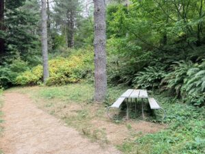
A wooden picnic table with a metal frame in a grassy area off a dirt trail to the right.
After heading north past the Wedding Meadow, you’ll see this trailside picnic table.


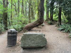
There is a large square cut rock at the end of Spruce Trail where it intersects with Wildwood Trail next to a trash can.

There are multiple large rocks suitable for sitting at the trail’s northern terminus.
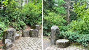
A variety of cut, low rocks suitable for resting on a stone surface.
Low rocks to either side of the entrance to Bray Ln at the end of Spruce Trail.

Questions?

Please reach out to Hoyt Arboretum Friends for more information about trails including accessibility concerns.

[email protected]
503.865.8733


Web Design by Watermelon Web Works
Skip to content